
ORLANDO, Fla. – You may have heard of cumulonimbus clouds, but what about pyrocumulonimbus clouds?
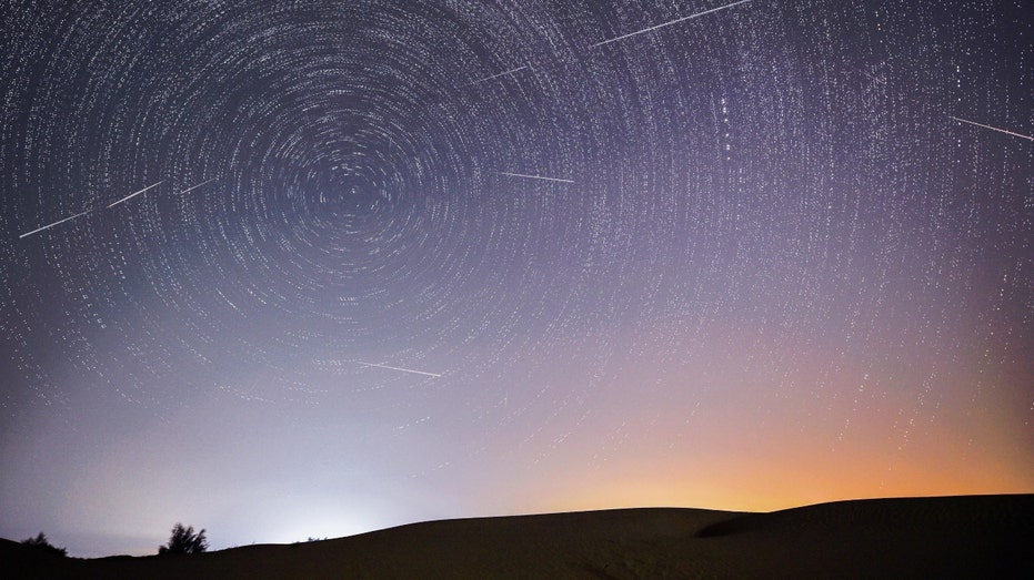
Living in Florida, you likely have noticed the towering clouds resembling cauliflower on any given afternoon. These thunderstorm clouds — called cumulonimbus clouds — sometimes grow taller than 40,000 feet and can produce damaging wind, heavy rain, lightning and sometimes hail.
They are produced when air vigorously rises through a process called convection. The instability needed for these clouds to grow is generated from the sun heating the ground and the ground heating the surrounding air.
If the air above the ground is cooler than the air that has been warmed up, it will begin to rise. Think of a hot air balloon. The balloon rises when you add heat to it.
As the air rises, it cools and condenses forming clouds, rain and sometimes hail depending upon how strong the thunderstorm updraft is.
These clouds are most common when the greatest instability is present, during the spring and summer months.
Pyrocumulonimbus, also known as PyroCb, are essentially the same thing. However, the fire itself provides extra heat to create rising air. With the exceptional heat from the fire, instability is generated to produce thunderstorms in the vicinity of the wildfire.
The lightning within the thunderstorm could go on to ignite additional fires, complicating the firefight.
Florida-based company Fire Neural Network is using its technology during the wildfires in California to help detect these lightning strikes.
“In San Bernardino County, the Line Fire spread so quickly because of these PyroCb conditions,” said Dr. Istvan Keresy, Co-founder and CEO, Fire Neural Network.
Earlier this year, News 6 featured Fire Neural Network and its lightning detection technology.
“This detector detects a lightning strike then we combine this information with what we know about the weather, what we know about the environment, and use artificial intelligence to narrow down the options and find out where exactly this will happen,” said Imre Bartos, Ph.D., Chief Technology Officer, Fire Neural Network.
“The 2019-20 Black Summer Bushfires were driven by lightning and PyroCb, and in last year’s extreme Canadian wildfires, 147 PyroCb events were recorded,” said Kereszy.
According to Kereszy, the year’s largest fire — the Park Fire in California — was also spread by pyrocumulonimbus. That fire reached 500,000 acres.
“It is a relatively newly recorded phenomenon responsible for many of the mega-fires and is thought to be increasing due to climate change,” said Kereszy. “We are proud that our Florida-based AI technology is helping fight extreme wildfires in California.”
More Stories Like This In Our Email Newsletter


Post comments (0)